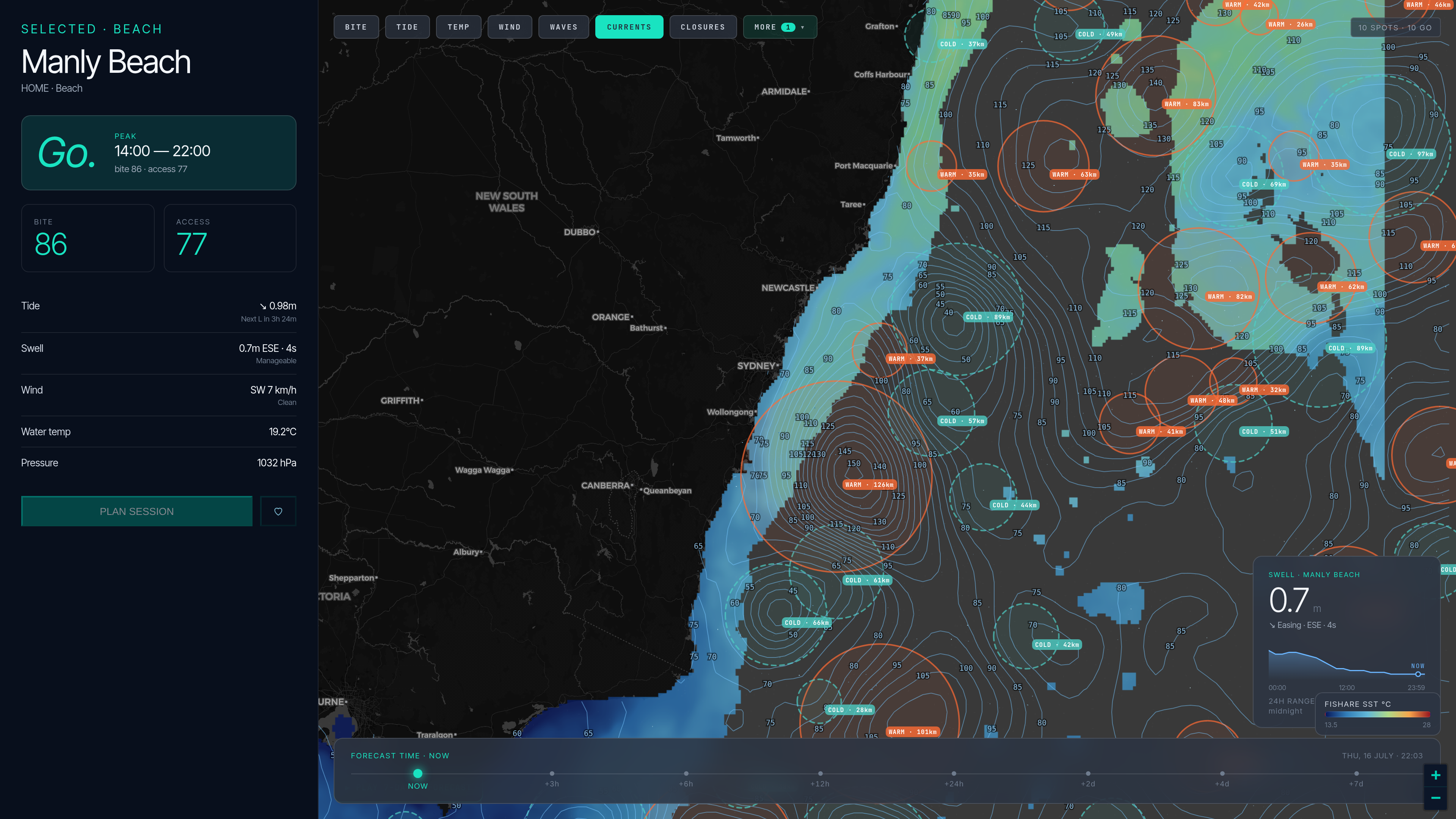
Five offshore sea-surface-temperature services, verified against their own live pricing pages. Where a price isn’t public we say so instead of quoting rumours — and yes, one of these products is ours; the sources are linked so you don’t have to trust us.
| Product | Annual price | What the price covers | Monthly / short-term | Free trial | Apps |
|---|---|---|---|---|---|
| RipCharts | US$99 (Standard) · US$169 (Premium) | One region per subscription — 16 regions listed | No — annual only | None | iOS + Android on Premium only — Standard is web-only |
| Hilton’s Realtime-Navigator | US$200/yr | One US region (+US$30 per extra region) | Passes: US$49.99/wk · US$74.99/mo (each +US$30 per extra region) | None found | Web-first |
| SatFish | US$129/yr | All regions included | Not offered publicly | 30 days | — |
| FishTrack | Not listed as an annual price | Their upgrade page quotes a monthly figure only — no region breakdown published | From US$20.99/mo | 2 weeks | iOS + Android |
| SiriusXM Fish Mapping | Not publicly listed | Requires SiriusXM marine hardware + subscription | — | — | Via chartplotter |
| Fishare | US$49.99/yr | Every covered region, one price — SST/chlorophyll/subsurface across AU east, NZ, US East + Gulf, UK, Japan; currents + SSH AU east + NZ | US$5.99/mo | 7 days | iOS App Store + PWA |
Verified July 2026 against each vendor’s live pricing/registration page. “Not publicly listed” means exactly that — we don’t quote third-party guesses.
Update cadence is passes, not maps. RipCharts’ own table promises 8–20 SST updates a day on Premium and 4–8 on Standard; those are polar-orbiter overpasses — each a partial, cloud-holed swath. That’s why the pass-based vendors also sell cloud-free composites. If you read raw imagery by hand over your canyon, that cadence earns its money; if you want the day’s answer, one complete gap-filled field beats a lottery of cloudy snapshots.
Per-region pricing is the real price. A per-region annual sub looks comparable until you fish two regions — then it’s US$200–340/yr against flat-price products. Ask how many regions you actually fish before comparing headline numbers.
Subsurface layers are model output — everyone’s. Physics doesn’t allow measuring temperature at depth from a satellite. Whether it’s a 0/−25/−50/−100 m ladder or ours at SFC/25/50/100 m, it’s HYCOM-class ocean-model data. Valuable for finding the thermocline; just know what you’re buying.
US$99/year for the Standard tier or US$169/year for Premium — per region, annual-only, with no free tier, no trial and no monthly option (verified on RipCharts’ own registration page, ripcharts.com/RegisterForPremium.aspx, on 31 July 2026). Every one of the 16 regions they list is priced the same on each tier, so extra regions are separate subscriptions. Their comparison table marks Android and iOS with a red X on Standard: the mobile apps, offline navigation, sub-surface SST, the 5-day SST forecast and salinity are Premium-only.
Of the services with public pricing: Fishare at US$49.99/yr (all covered regions) is the least expensive, then SatFish at US$129/yr (all regions), then RipCharts from US$99/yr per region, then Hilton’s at US$200/yr for the first region, then FishTrack from US$20.99/mo — around US$250/yr if you hold it all year. Per-region pricing changes the maths fast: fishing two RipCharts regions on Premium costs about US$340/yr, and a second Hilton’s region adds US$30.
SatFish offers 30 days, FishTrack 2 weeks, and Fishare 7 days. RipCharts and Hilton’s list no free trial on their own registration and signup pages (checked 31 July 2026). Fishare’s forecast app around the paid layer is free without an account.
Not by itself. Multiple daily updates means multiple polar-satellite overpasses — each a partial swath with cloud holes, which is why the same vendors also sell cloud-free composite products. A once-daily gap-filled field trades update frequency for a map that is complete everywhere, every time. Which trade is right depends on whether you scrub raw passes by hand or want the day’s field read for you.
No — nobody measures temperature below the surface from space. Every subsurface product on the market, Fishare’s 25/50/100 m ladder included, is ocean-model output (HYCOM-class). Useful, but it’s a model, whoever sells it to you.
The hourly bite forecast, the catch log and saved spots are free, forever — no subscription needed. The only paid upgrade is the offshore ocean-intelligence set (SST fronts, currents, chlorophyll, the HSI heatmap): Fishare Pro at US$49.99/yr, with a 7-day free trial and no card required to start.
Open Fishare